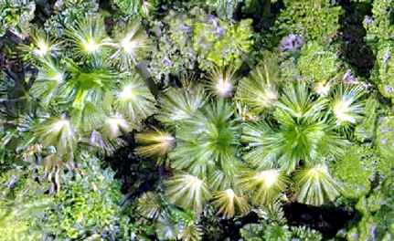
Seminar: Mapping Opportunity in the Amazon region: Field Challenges and Geospatial Approaches to Sustainable Forest Use
Join via ZoomFrom the Amazon Sustainability research community, this seminar by Dr. Joseph Hupy (POLY) can be attended in person or via zoom.
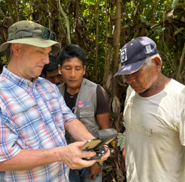
Joseph Hupy has 20+ years of utilizing various tools and methods to gather geospatial data for integration into Geographic Information Systems software. This experience with geospatial data collection methods has led towards an innate understanding of best practices for gathering data to solve questions at the landscape level. As an undergraduate, Dr. Hupy majored in Geography with an emphasis in GIS/RS, and has continued to use these technologies over the years in his research endeavors. From Dr. Hupy’s masters research studying wind erosion, to his PhD research examining recovery of WWI battlefields, he has embraced a variety of spatial data collection methods and equipment from the traditional to the modern.